Developing the installation measures the three sites and use different methods to orientate the opsition in order to discover which place is better for nine characteristics to have a picnic. The installation launches a ceremony to measure the opsition. It could be call a navigator
and use topology to survery and map the site plan.
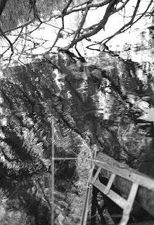
In the swamp, the intallation from tree sails into swamp and use the diagonal and vertical to measure the distance and deep of swamp.


In the forest,the navigator use trangulaton and viewfinder to project the site.


In the cliff,because of geography,before climbing the cliff the intallation use calibration and coordinate and use a kind of parallax to measure the geography of cliff. Somehow, the intallation have to be put into crevice to measure the angle of crack.According to site plan, sometimes the crevice is suitable place to have a picnic.


